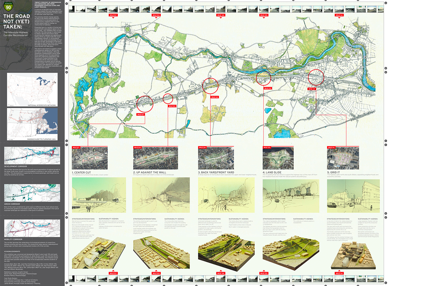
The Road Not Taken
A network of 160,000 miles of interstate highway enables the auto-dependent land-use patterns that generate 3 trillion vehicular travel miles each year, producing 20% of greenhouse gas emissions.
This study, presented in the form of the standard “folding map” reimagines a portion of Interstate 90/Mass Pike in the Boston metro. Side A presents design alternatives for various prototypical interstate highway conditions. Side B considers the transformations in the larger adjacent landscape that the new highway might sponsor.
This project was completed in conjunction with the Loeb Fellowship and exhibited at the Harvard Graduate School of Design in Spring of 2009.
SEE SIDE A | SEE SIDE B

