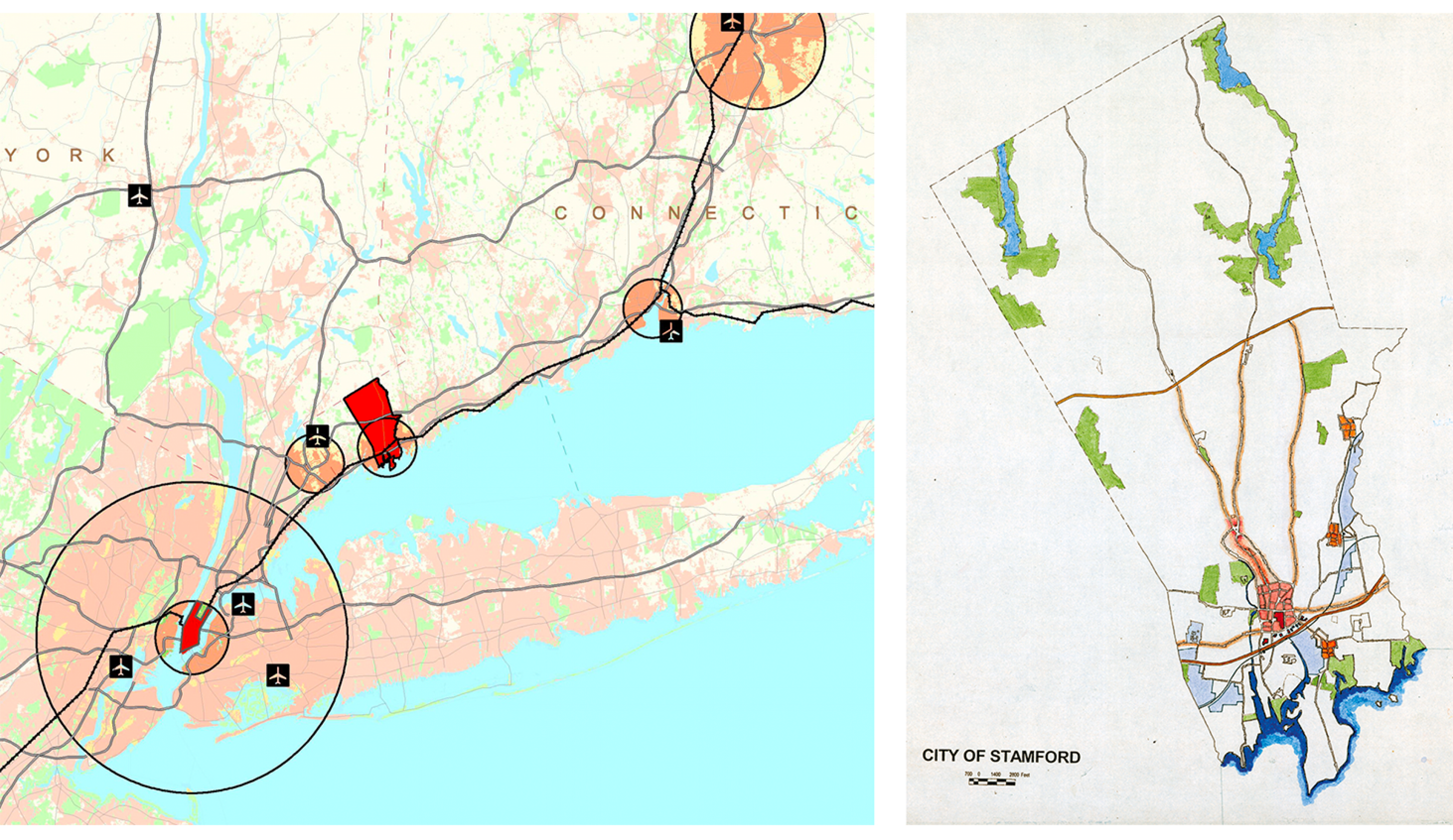
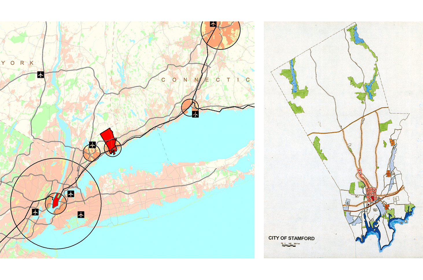
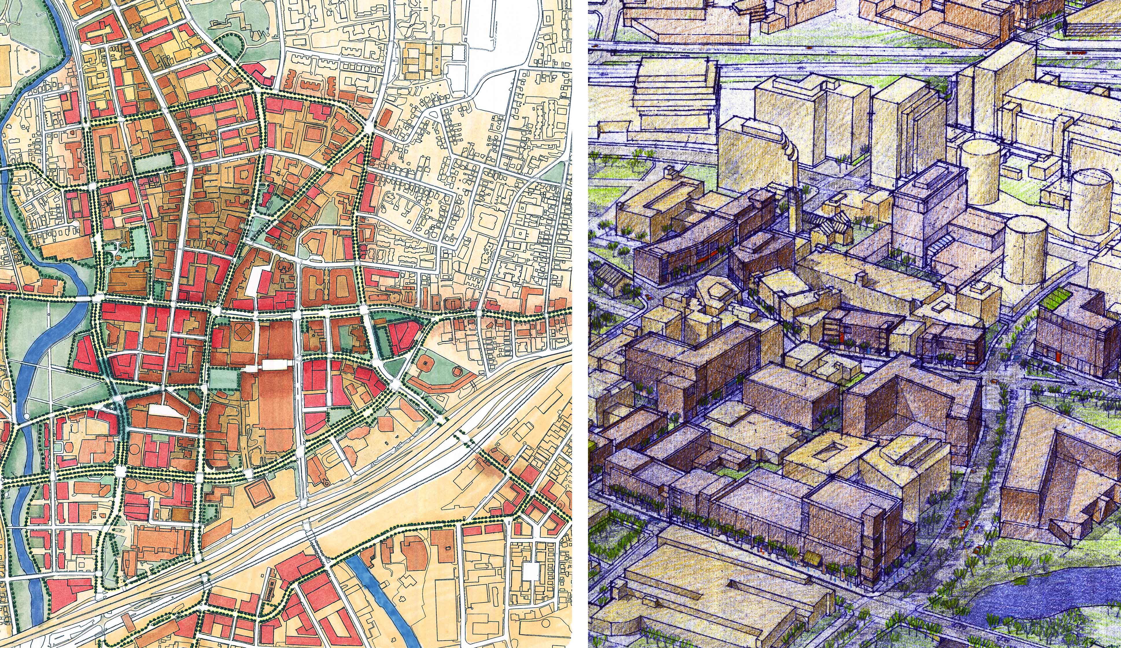
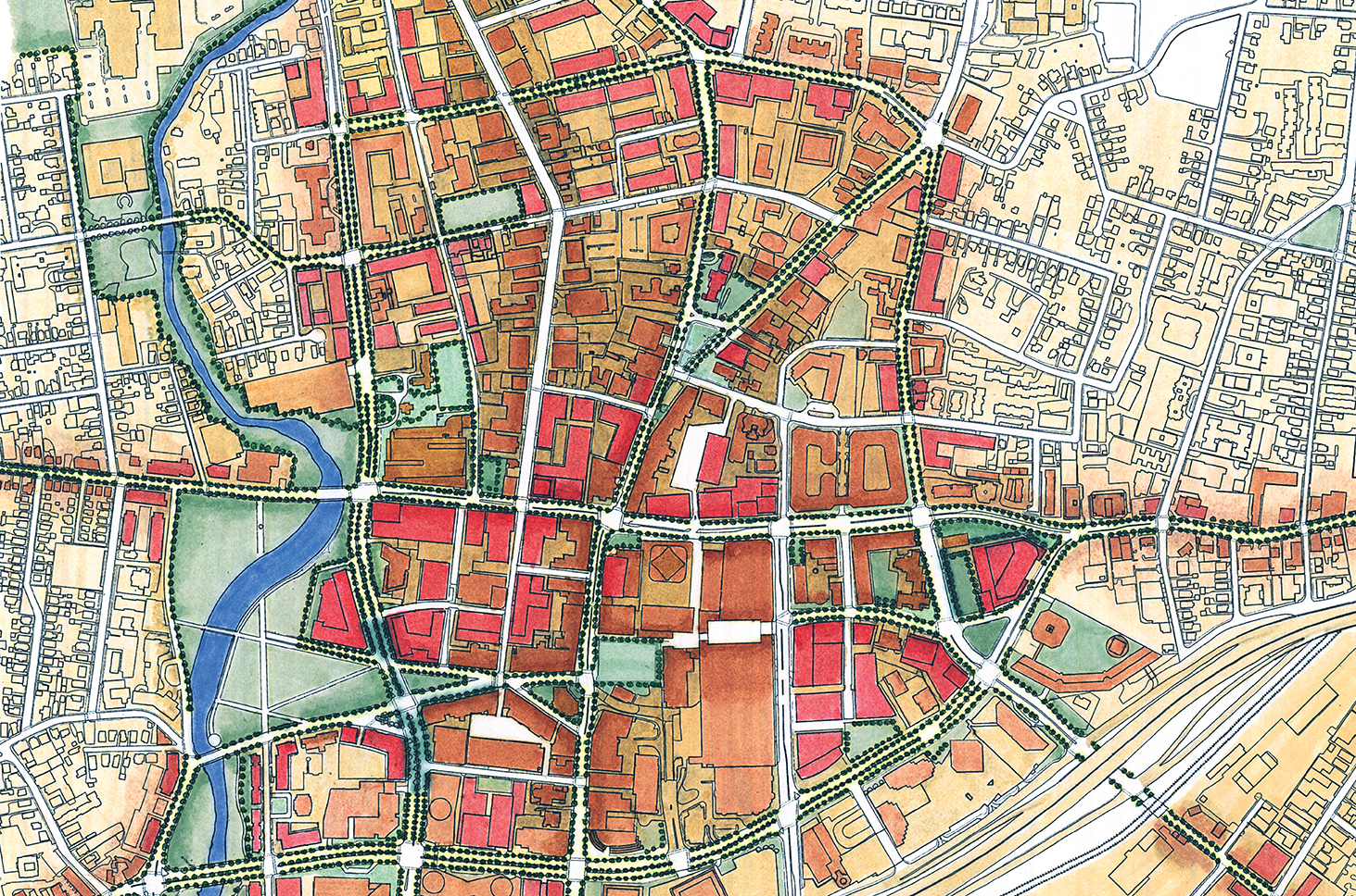
Stamford Master Plan
A regional center is completed with new infill development, a reclaimed waterfront and new open space networks.
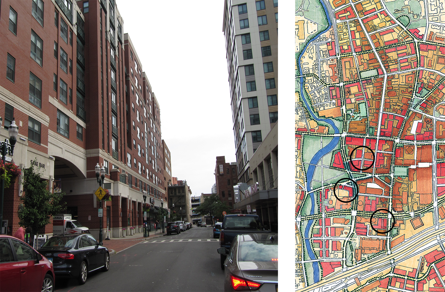
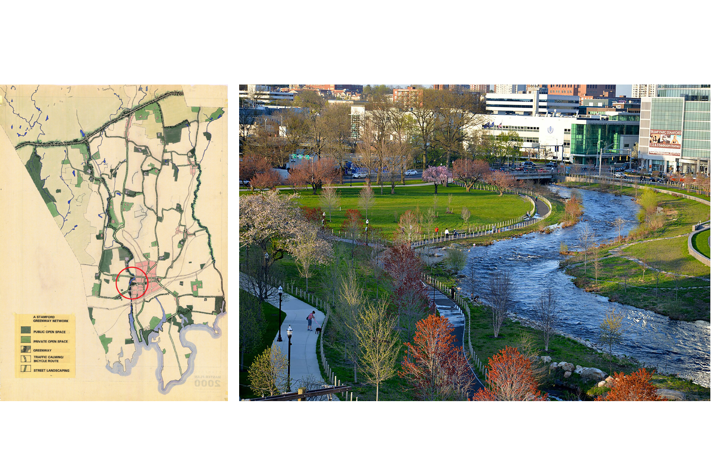
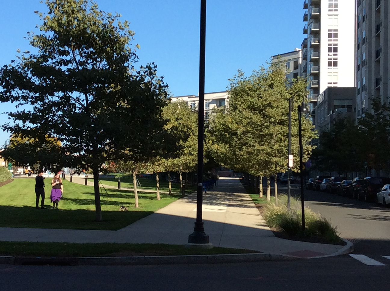
The 2002 Comprehensive Master Plan for Stamford Connecticut set the stage for a decade of redevelopment at multiple scales. In the historic core, the Plan and zoning has stimulated the compact, mixed-use development which is at the heart of Stamford’s downtown revival. The western edge of the downtown is framed by the now-complete Mill River Greenway, a signature element of the larger Stamford Greenway initiative which links many individual parks and open spaces throughout Stamford and creates waterfront access for the city.
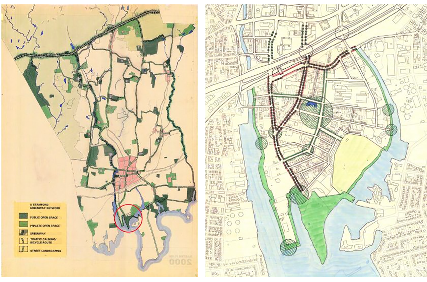
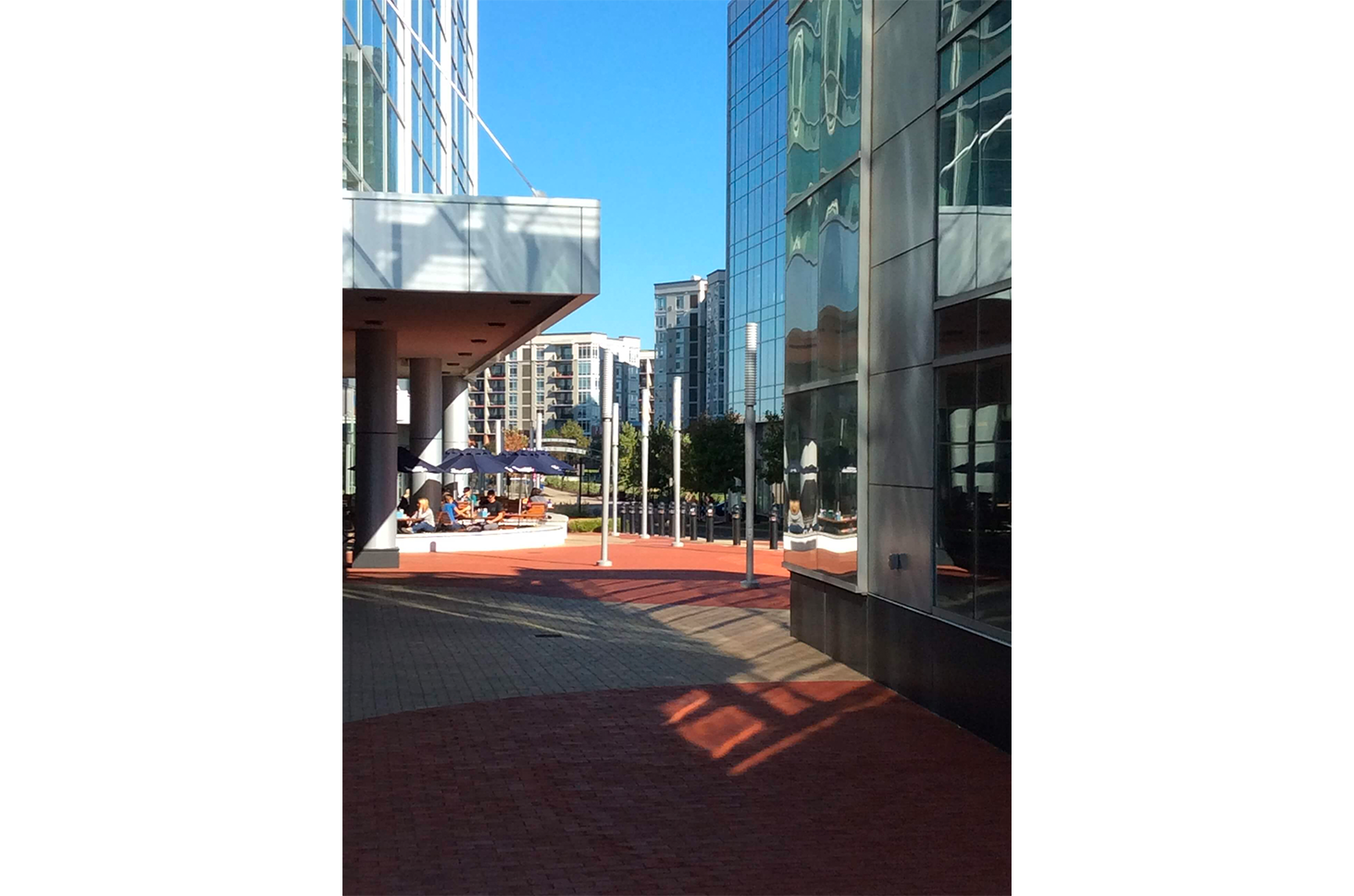
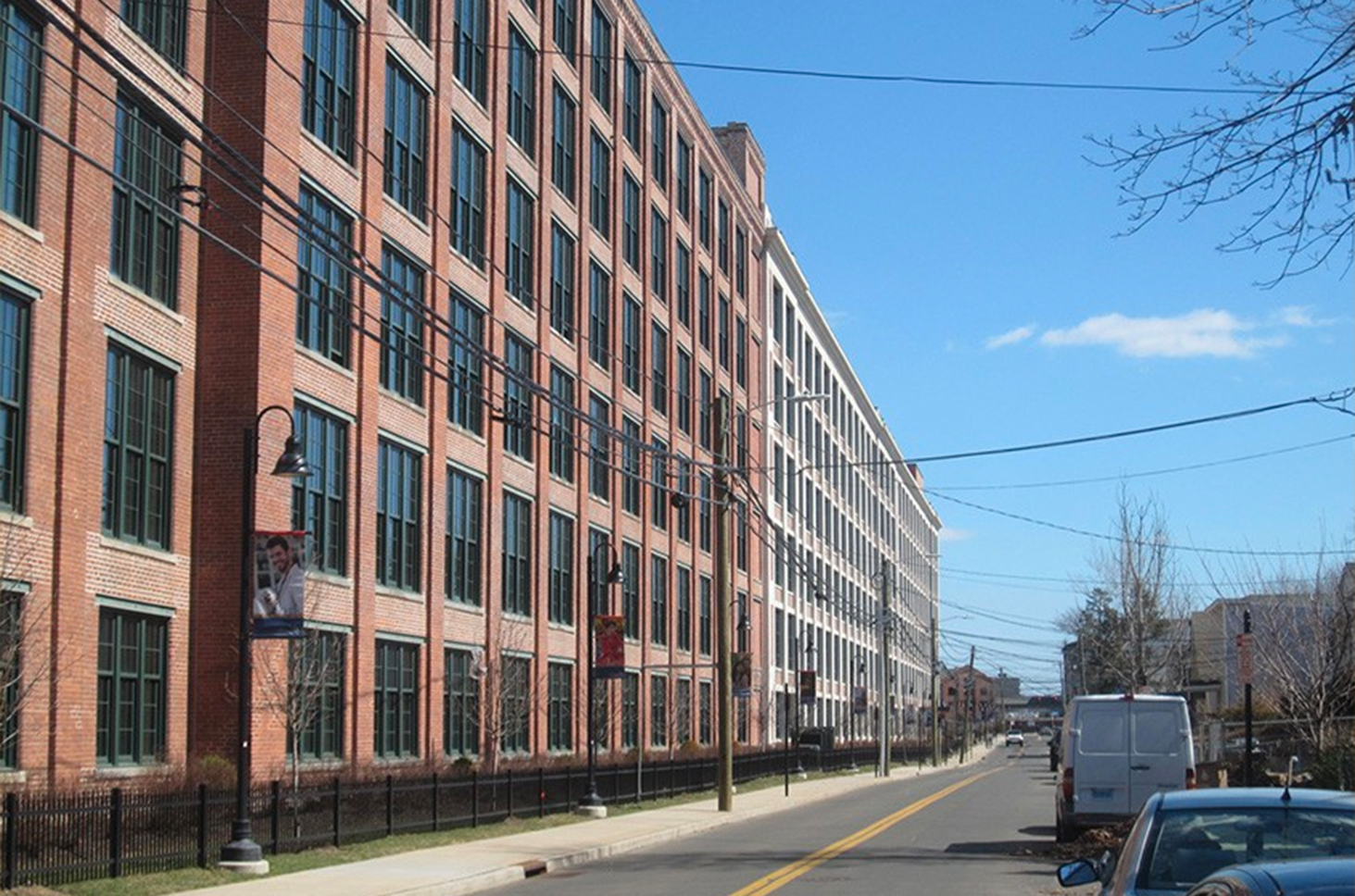
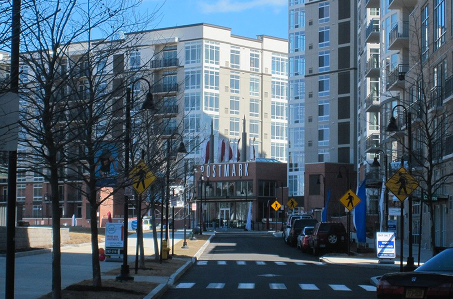
In the South End, the plan created the framework for abut 400 apartments and 600,000 sf of mixed use development along the Mill River corridor, the adaptive re-use of historic industrial buildings, new connections to downtown and transit-oriented development near the Stamford Transit Center.
with RPA
Stamford Master Plan Urban Design Report_Corridors
Stamford Master Plan Urban Design Report_Greenway Strategy
Stamford Master Plan Urban Design Report_Industrial District Design
Stamford Master Plan Urban Design Report_Introduction and Downtown
Stamford Master Plan Urban Design Report_Neighborhood Centers